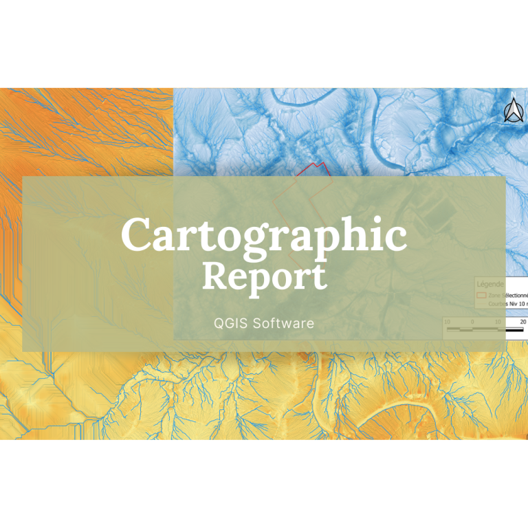
Cartographic Report (QGIS & Satellite imagery)
€400.00 – €700.00
What You Get: A PDF report including Topographic Land Maps or a Full Hydrographic + Topographic Land Maps Report.
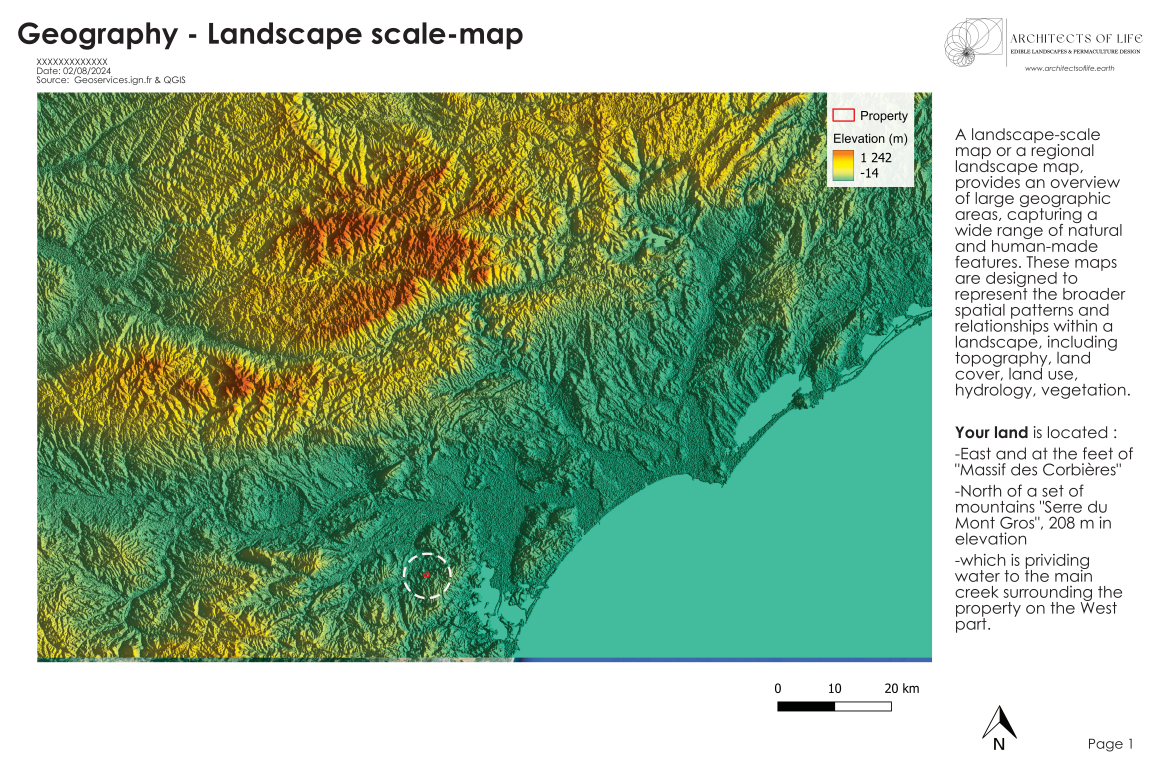
Detailed cartographic maps are fundamental tools to navigate over the whole area, assess flood and erosion risks, plan infrastructure developments, understand the natural environment’s characteristics and constraints; they help building a solid water management plan, structure land management practices that promote biodiversity, resilience, and abundance.
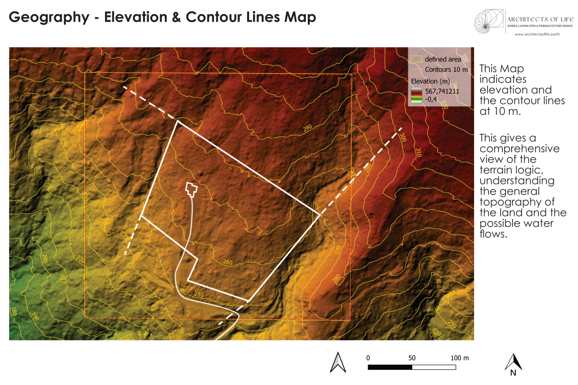
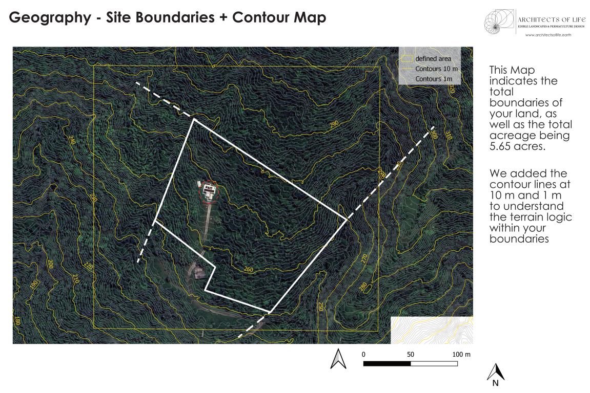
They provide a visual depiction of the three-dimensional landscape on a two-dimensional surface and showcase the natural and artificial features such as hills, valleys, bodies of water, roads, and buildings.
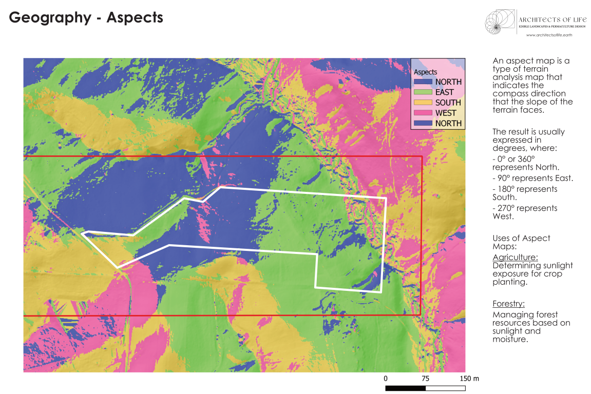
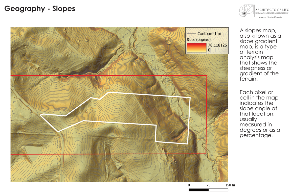
– Topographic Land Maps : Contour lines, Elevation, Slopes, Hillshade, Sun Exposure based on orientation.
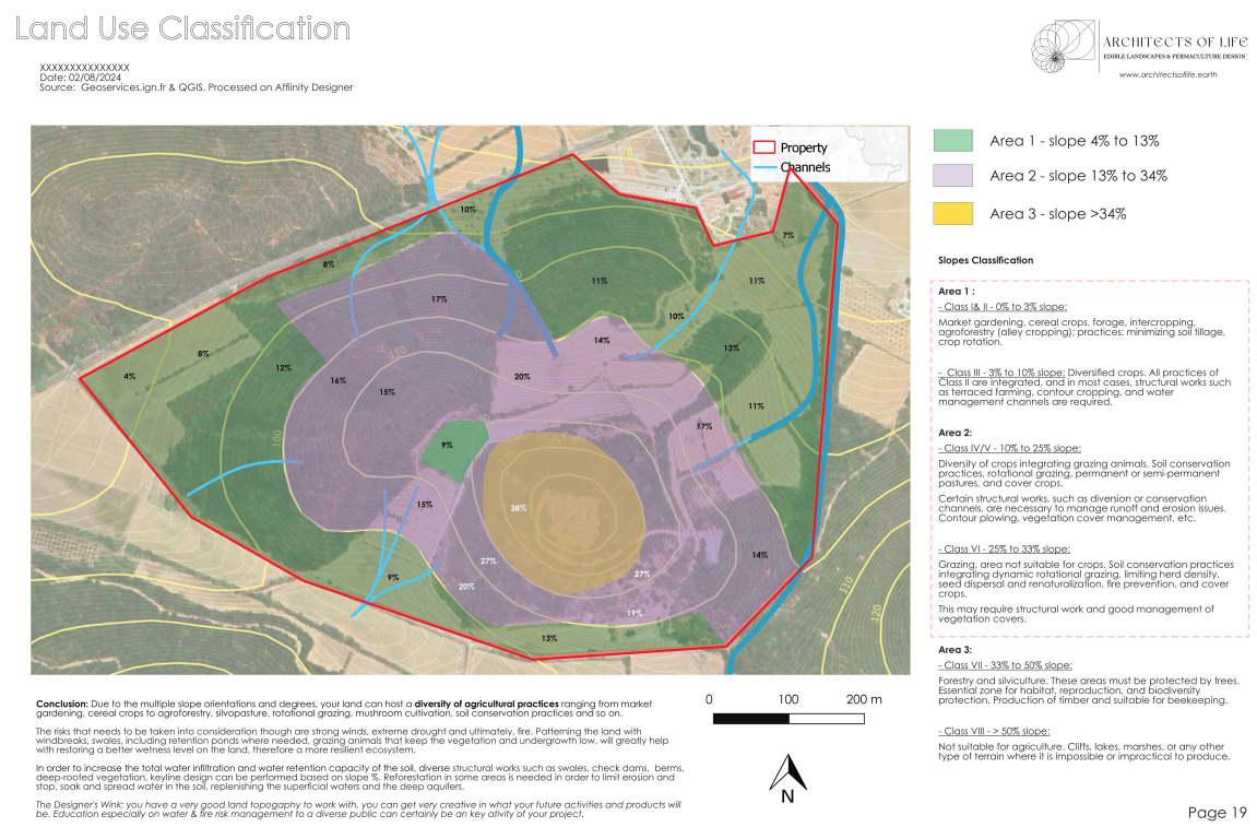
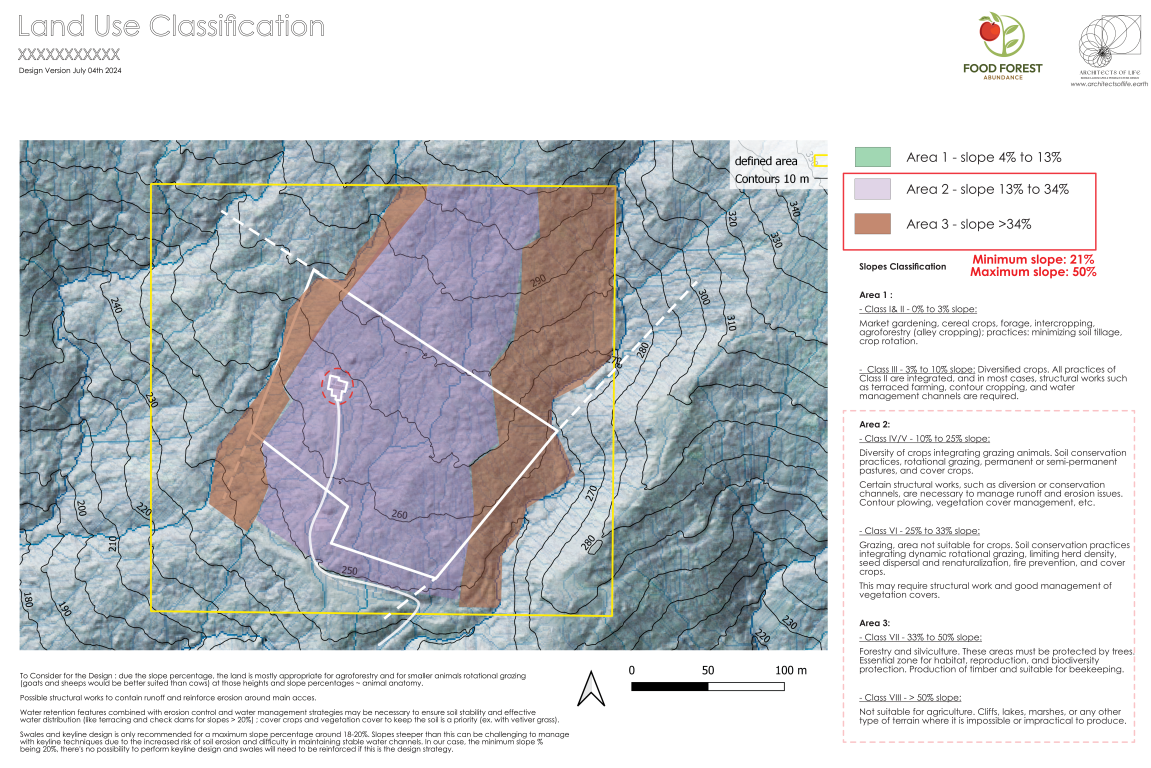
– Land Use Classification based on slope percentage analysis
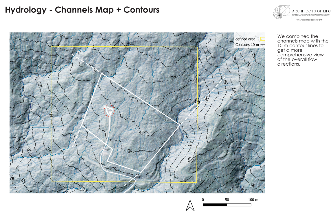
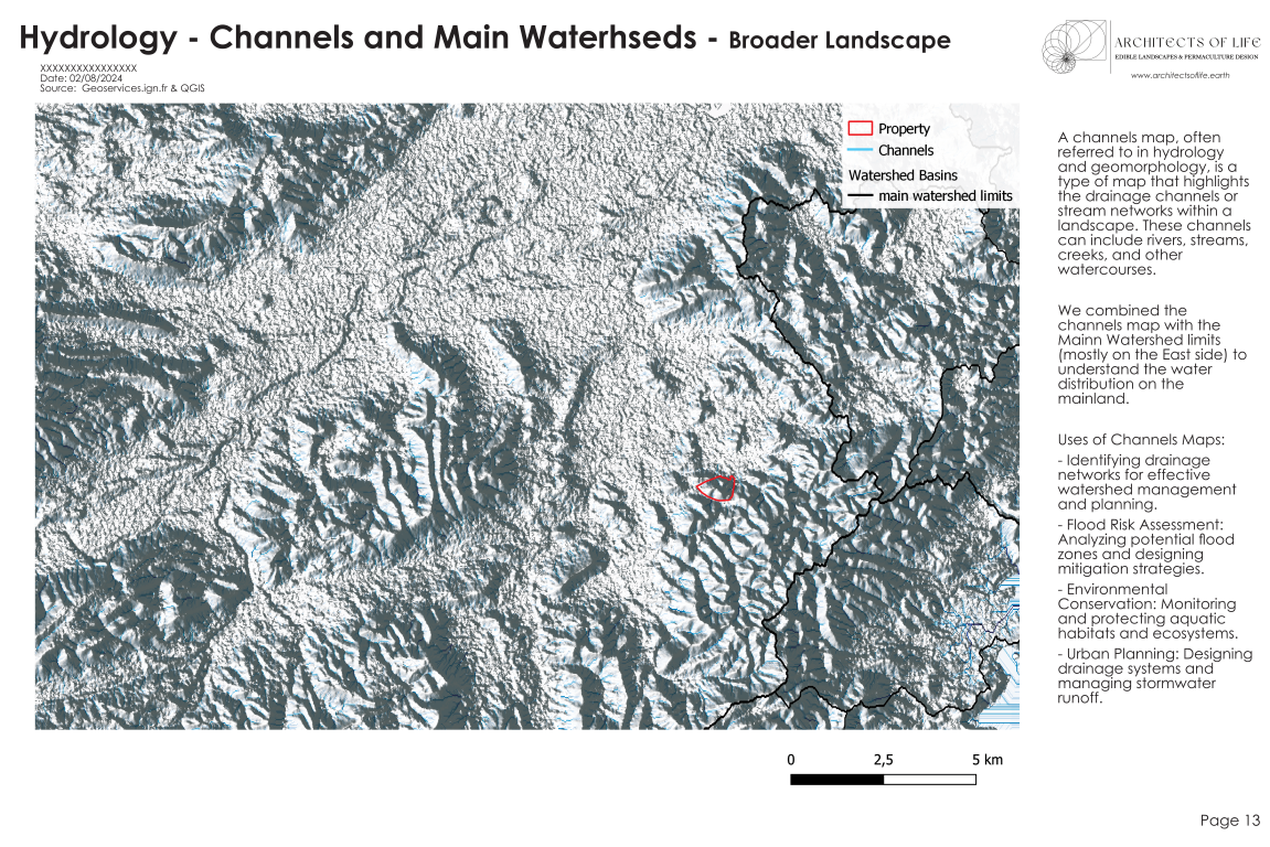
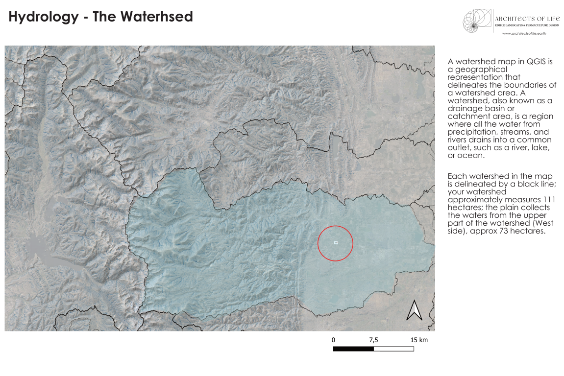
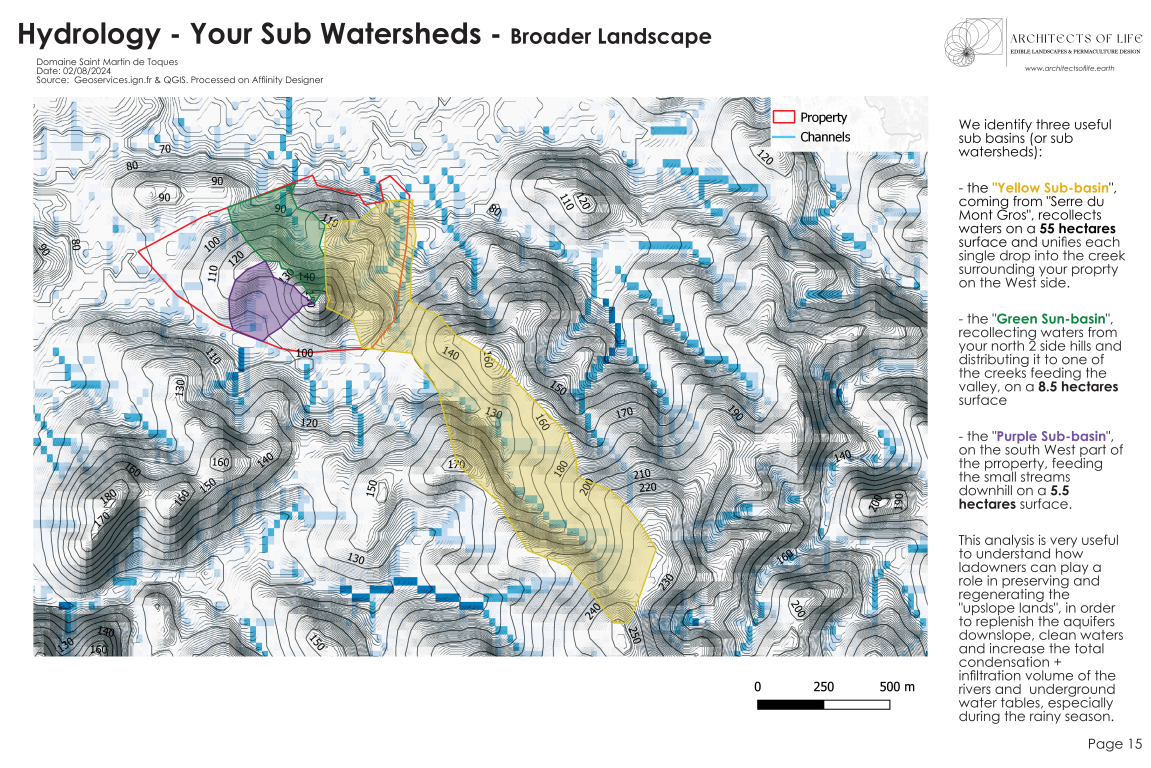
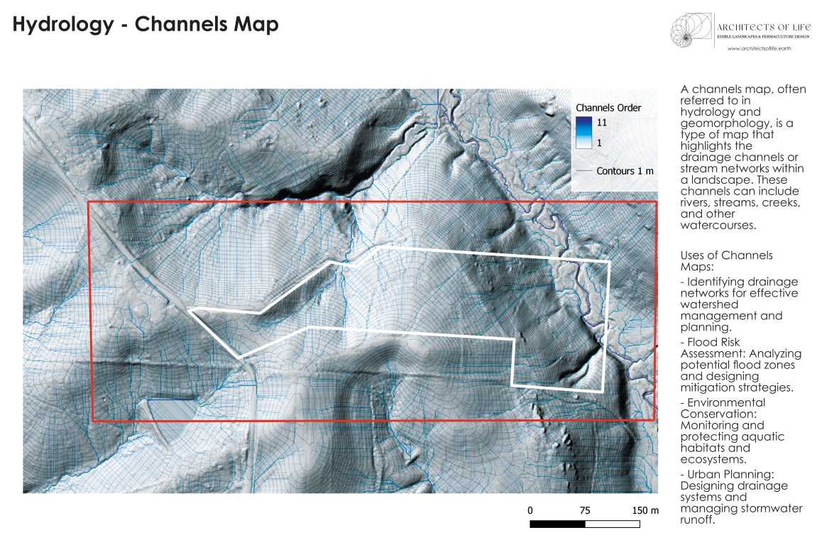
– Hydrographic Land Maps: Water flow patterns, Watersheds, Wetness Indexes.
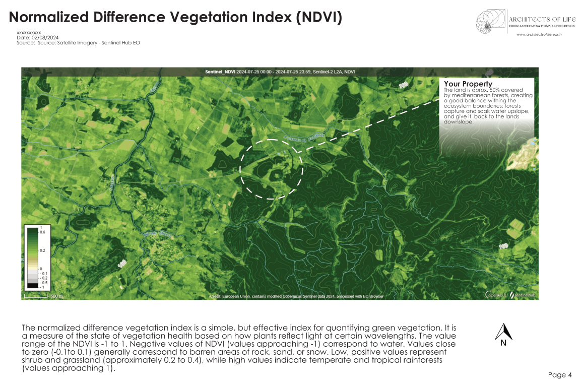
– NDVI (Normalized Difference Vegetation Index) and NDMI (Normalized Difference Moisture Index)
Please be aware that:
– Depending on the region, maps precision can vary from 0.5 meters (USA, France) to 30 meters.
– It can take sometime to get the best appropriate data for your study.
– You will be asked to fill up a form providing with the site location address and a screenshot.
– Product release can vary from 3 days to 1 week after purchase.
Cartographic Report (using QGIS Software and Satellite Imagery)
Additional information
| Select Map Type | Topographic Land Maps, Hydrographic + Topographic Land Maps |
|---|
Only logged in customers who have purchased this product may leave a review.




Reviews
There are no reviews yet.